01
DGPS / RTK land survey
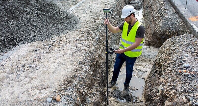
High-precision GNSS surveying for accurate coordinate positioning, land measurement and geospatial data collection. Real-time corrections give centimetre-level positions even on large or open sites.

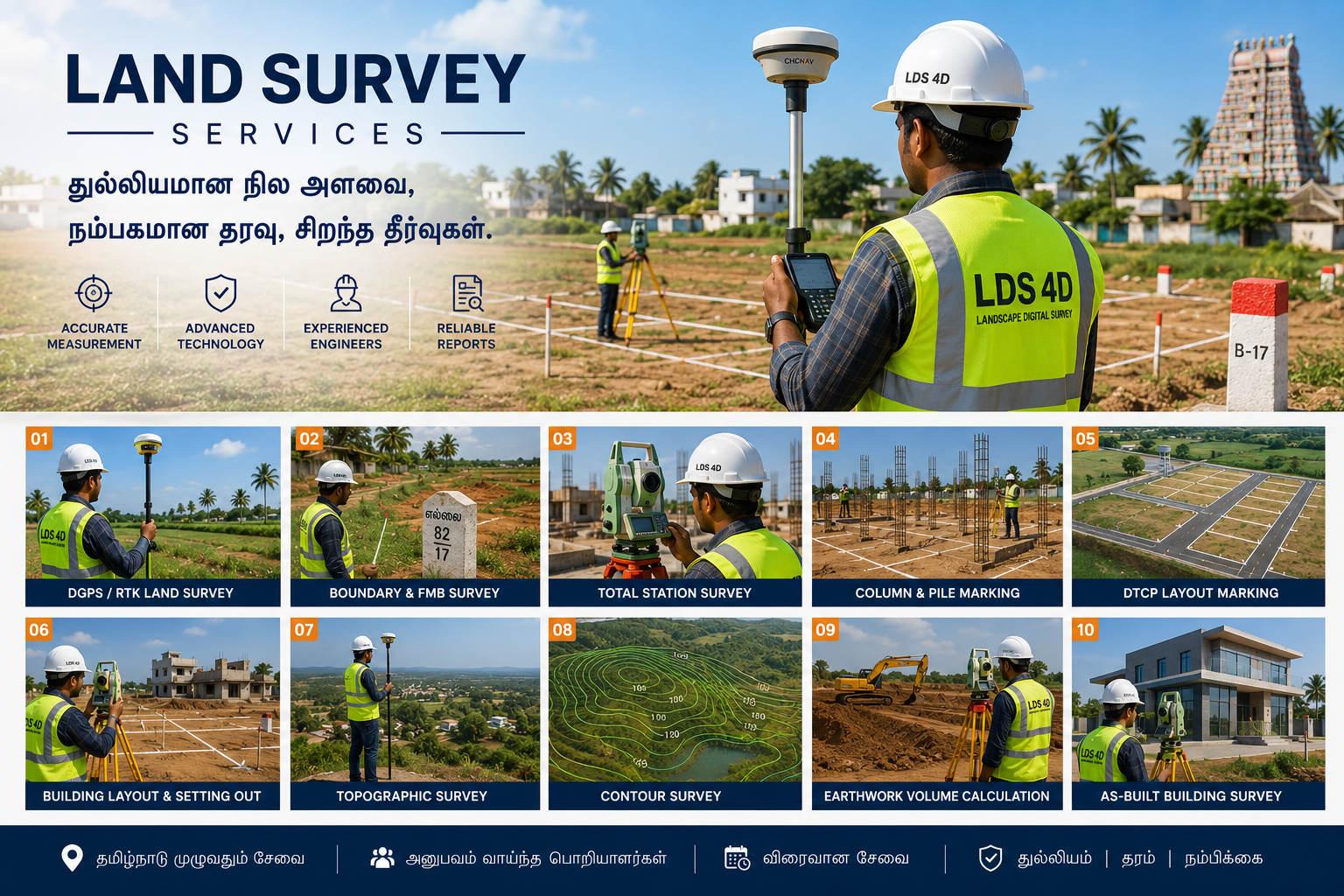
Survey, mapping, 3D scanning, engineering documentation and approval assistance — grouped by what you actually need on site.
Ten field services covering everything from a single boundary check to a full topographic model.
High-precision GNSS surveying for accurate coordinate positioning, land measurement and geospatial data collection. Real-time corrections give centimetre-level positions even on large or open sites.
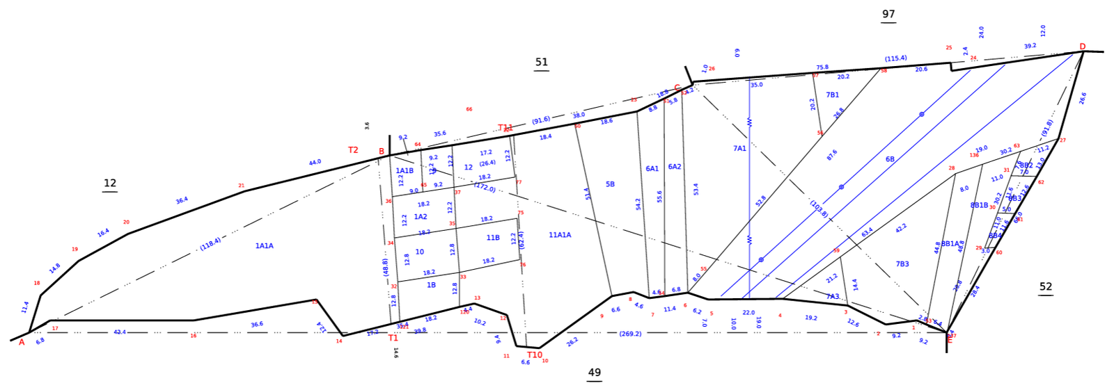
Boundary verification and measurement using Field Measurement Book records and survey documents, so you know exactly where your land starts and ends before you buy, build or register.
Detailed angle and distance measurement for plot surveys, site levels, structural positioning and control networks — the workhorse of accurate site data.
Accurate positioning and marking of columns, foundations, piles and structural elements so the structure goes up exactly where the drawing says it should.
Layout marking for approved residential and commercial developments — plots pegged, roads aligned and corners identified to match the sanctioned plan.
Precise building positioning on the ground according to the approved plan — the step that prevents expensive foundation corrections later.
Complete terrain mapping and ground feature identification — levels, natural features, existing structures and services — for design and development planning.
Detailed contour mapping for planning, engineering design, drainage studies and land development — showing exactly how water and levels behave across the site.
Cut and fill analysis for excavation and land development, so you pay for the earth you actually moved — backed by a report you can put in front of a contractor.
Measurement and documentation of completed structures for engineering records, facility management, renovation planning and dispute resolution.
Field data turned into layers, models and drawings you can design from.
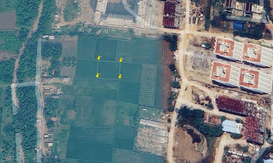
Geographic Information System mapping for infrastructure, land management and planning applications — spatial data you can query, not just look at.
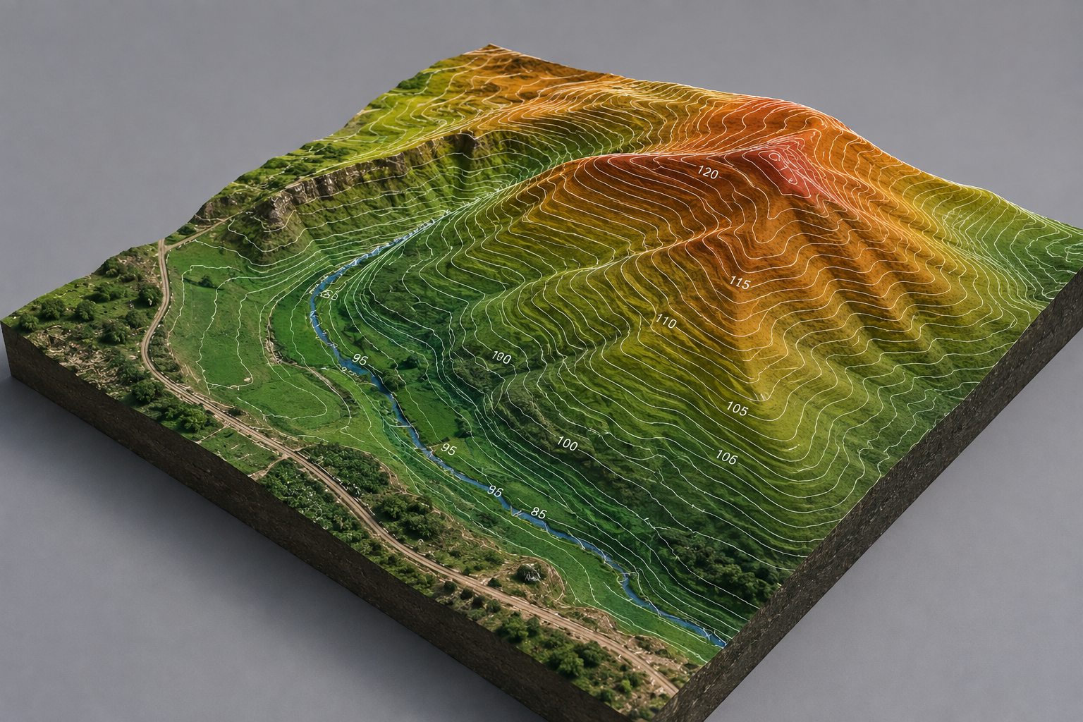
Detailed digital representation of the ground surface for engineering design, earthwork planning and drainage analysis.
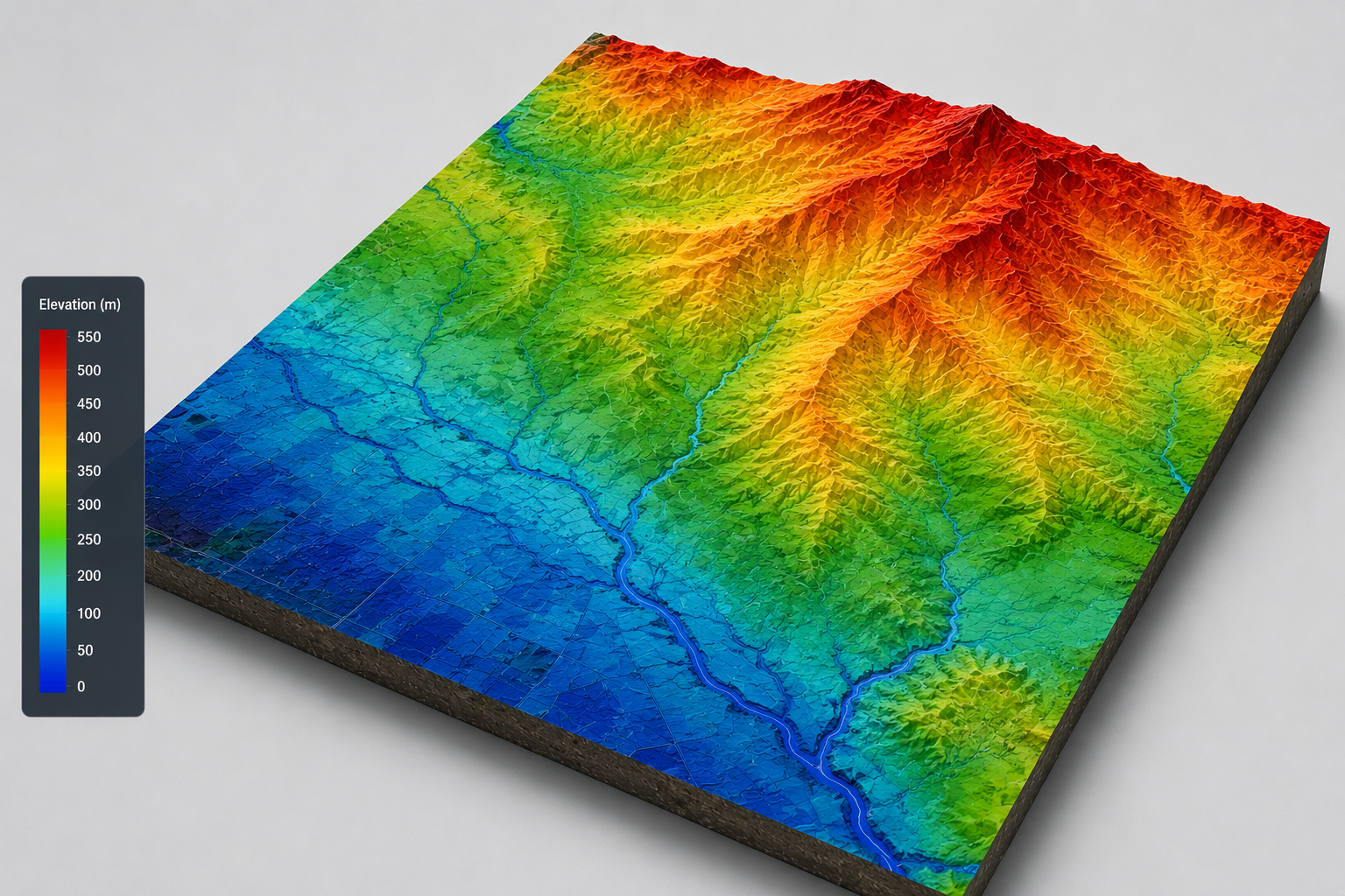
Accurate elevation modelling and terrain analysis for development, infrastructure and flood or drainage planning.
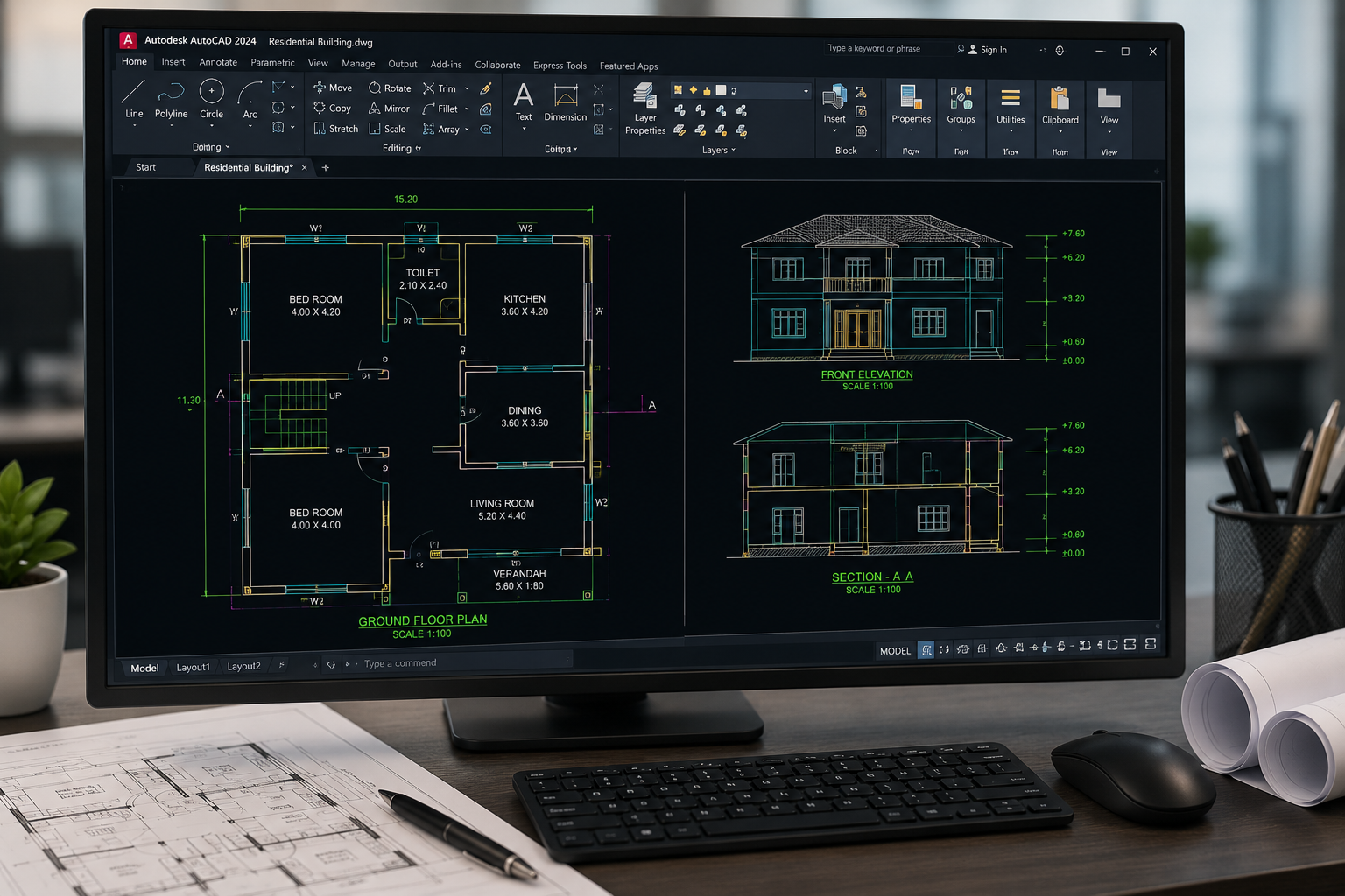
CAD drafting for survey plans, layout drawings, contour maps and engineering documentation — delivered in DWG and PDF.
Comprehensive reports with field observations, measurements, coordinates, maps and technical analysis.
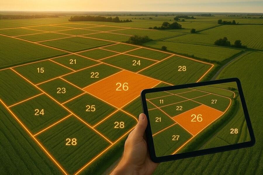
Accurate area computation for residential, commercial, agricultural and industrial properties in the units you need.
Non-contact capture for structures that are too complex, too fragile or too detailed to measure by tape.
Millions of points captured in minutes, giving a highly detailed three-dimensional record of a structure or site.
Systematic inspection and measurement of cracks and structural distress, documented for engineering assessment.
Accurate documentation of existing structures for renovation, redevelopment and facility management.
Specialised, non-contact surveying and documentation of heritage buildings, temples and historical structures.
Scan-to-BIM data collection and processing, giving your design team a model that matches what is actually built.
Send us a photo and the location on WhatsApp. We’ll tell you whether scanning or conventional survey suits it better.
Ask on WhatsApp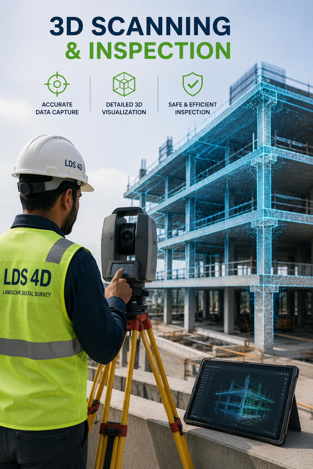 Heritage documentation
What you receive after the field work — and the paperwork support to get it sanctioned.
All documentation is prepared to professional engineering standards and to your project’s submission requirements.
We prepare the drawings and walk the file through the approval process with you.
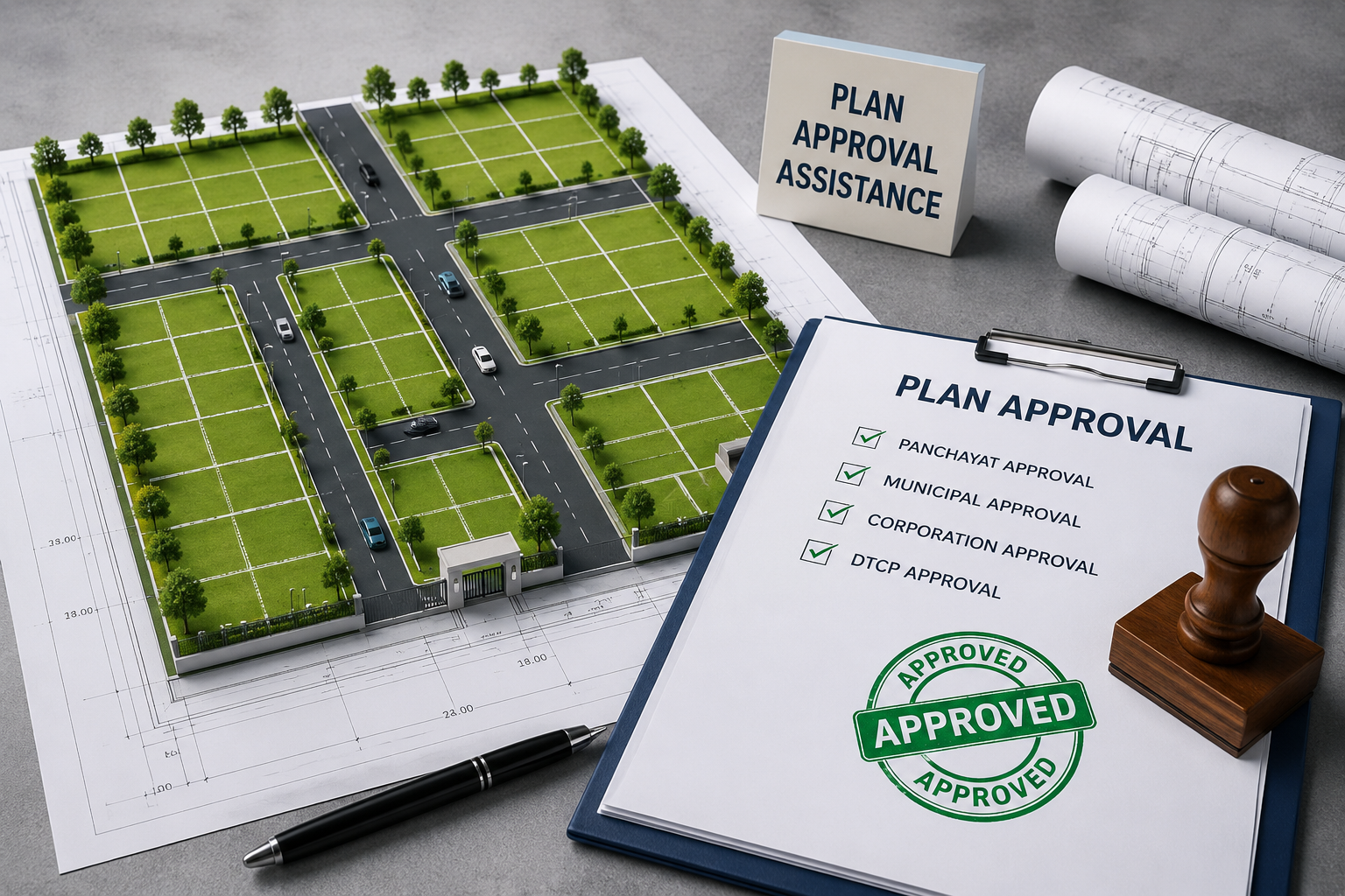
Panchayat, municipality, corporation and DTCP submissions handled end to end.
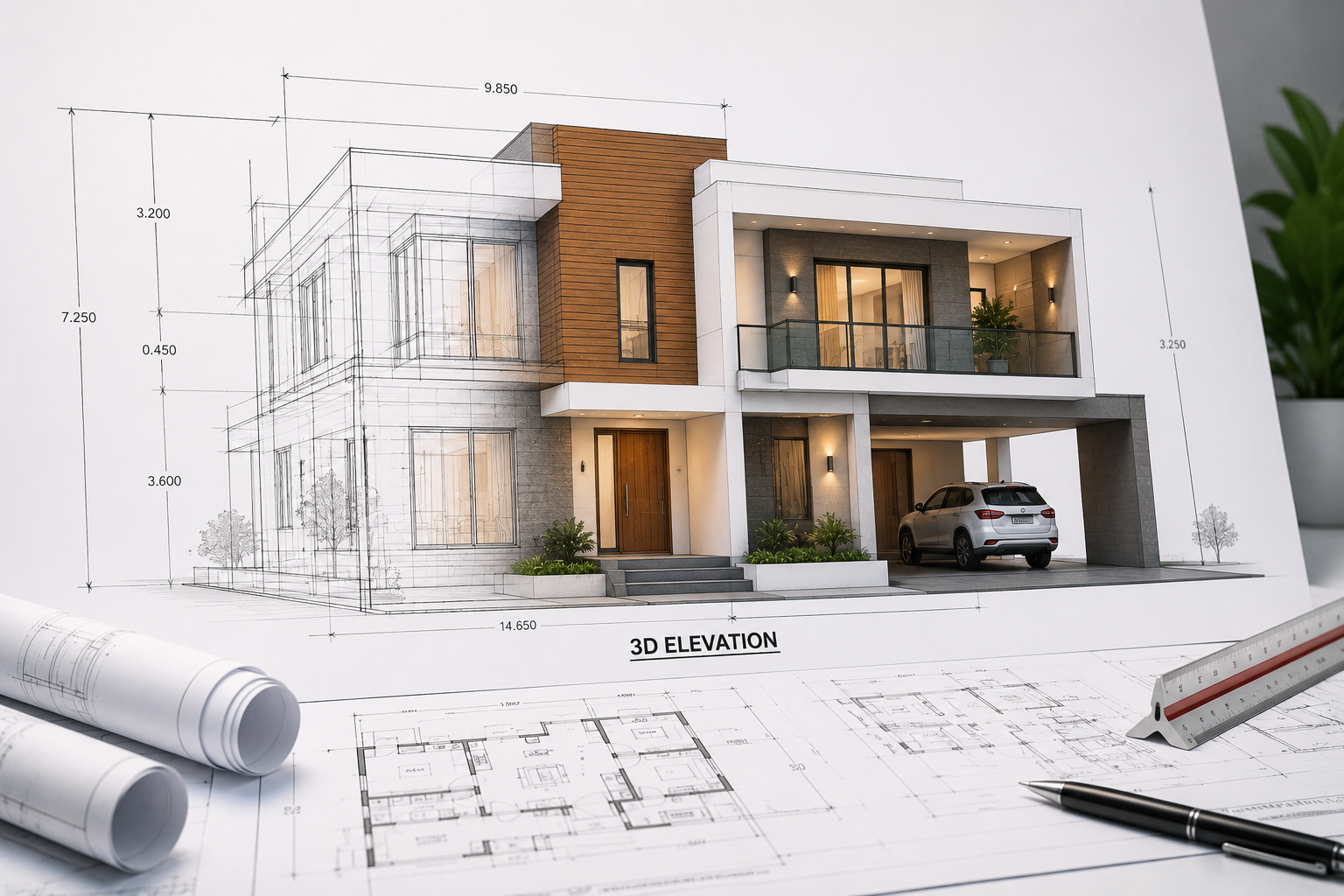
Realistic elevations and visualisations so clients see the building before it exists.
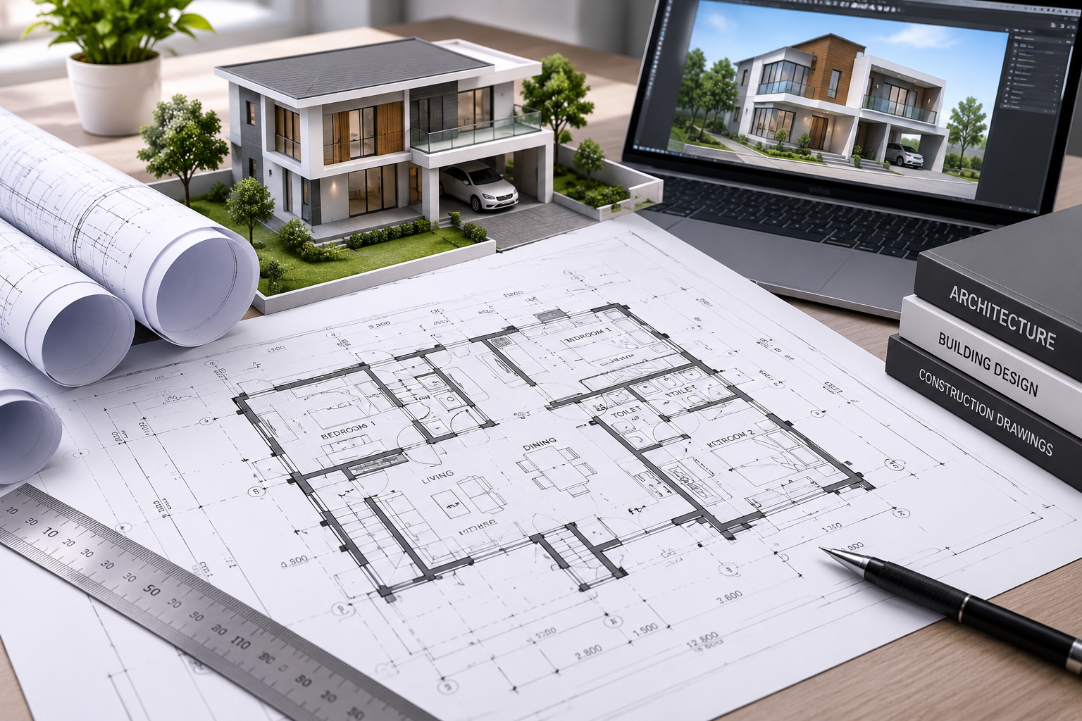
Complete drafting and design support for residential and commercial projects.
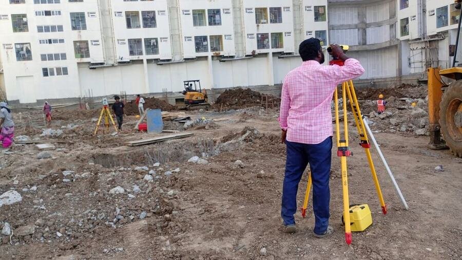
Send the site location and what you’re planning. We’ll recommend the right method, the deliverables you’ll receive and a clear price.