About LDS 4D Landscape Digital Survey
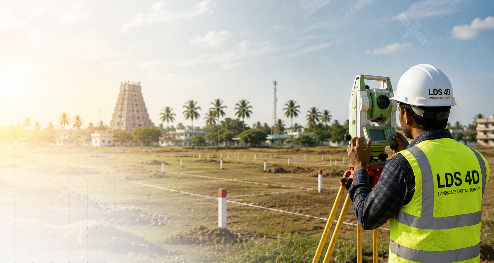
A surveying and engineering consultancy built on twelve years of field work in and around Tiruchirappalli.
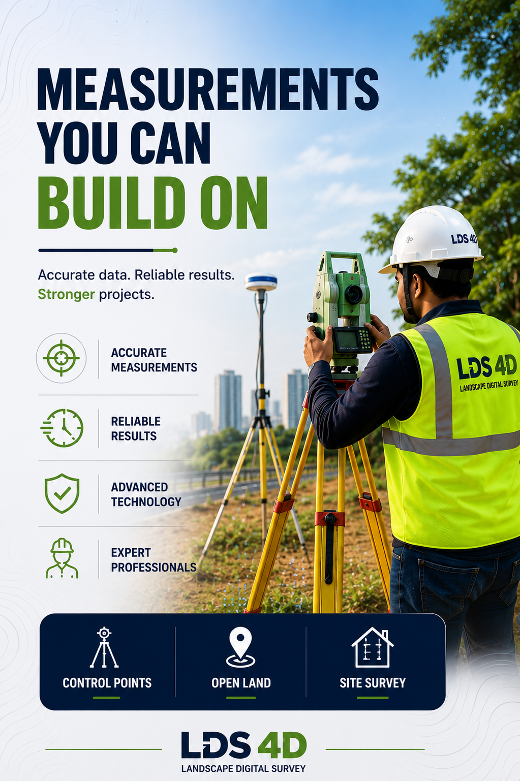 Control points · open land
Measurements you can build on
LDS 4D Landscape Digital Survey is a trusted surveying and engineering consultancy headquartered in Lalgudi, Tiruchirappalli, Tamil Nadu. We specialise in professional land surveying, geospatial mapping, engineering documentation, building layout services and statutory approval assistance for residential, commercial, industrial and infrastructure projects.
With over twelve years of field experience and advanced surveying technology, we provide accurate data collection, mapping, planning and engineering solutions that carry a project from concept through to completion.
Our commitment to precision, reliability and customer satisfaction has made us a preferred survey partner for builders, developers, architects, engineers, government contractors and property owners.
One of Tamil Nadu’s most trusted survey partners
To become one of Tamil Nadu’s most trusted and technologically advanced surveying and engineering service providers.
Precise data, reliable documentation, real approval support
To deliver precise surveying solutions, reliable engineering documentation and professional approval assistance that support sustainable development and successful project completion.
எங்கள் நோக்கம் / Our mission“துல்லியமான அளவீடு, நம்பகமான தரவு மற்றும் நவீன தொழில்நுட்பத்தின் மூலம் வாடிக்கையாளர்களுக்கு உலகத் தரமான Survey, Mapping, GIS, Engineering மற்றும் 3D Scanning தீர்வுகளை வழங்குவதே எங்கள் நோக்கம்.”
The Engineers Behind Every Reading
Every project is led by a registered engineer — not handed to a subcontractor.

Er. P. Tamil Selvan
DCE & BE Civil · Registered Engineer
A highly experienced civil engineering professional specialising in land surveying, project planning, layout design and engineering documentation with a strong commitment to accuracy and quality.

Er. A. Karalmarks
DCE & DLSE · Land Surveyor · Registered Engineer
An experienced land survey professional with expertise in DGPS surveys, boundary verification, topographic surveys, mapping, geospatial data collection and field engineering services.
12+
Years Experience
500+
Projects Supported
100%
Accuracy Focused
Six reasons clients stay with us
Precision & reliability
Advanced surveying equipment and proven methodologies behind every result we hand over.
Experienced professionals
Qualified engineers and survey technicians with years of on-site experience across Tamil Nadu.
Modern technology
DGPS, RTK systems, total stations, 3D laser scanners, GIS platforms and AutoCAD.
Fast project completion
Efficient workflows keep projects on schedule without compromising accuracy.
Comprehensive solutions
From field survey to final approval support — one team handles the whole chain.
Customer-focused approach
Every project gets dedicated attention and a solution shaped around the site.
Six steps, every project
The same sequence whether it’s a single plot check or a township layout.
Consultation & site assessment
Scope agreed, site conditions checked.
Field survey & data collection
Control established, readings recorded.
Data processing & analysis
Observations reduced, checked, adjusted.
CAD drafting & report preparation
Drawings, maps and quantity reports made.
Client review & verification
You verify; we revise anything unclear.
Final submission & approval assistance
Files delivered, approvals supported.
Tell us about your site
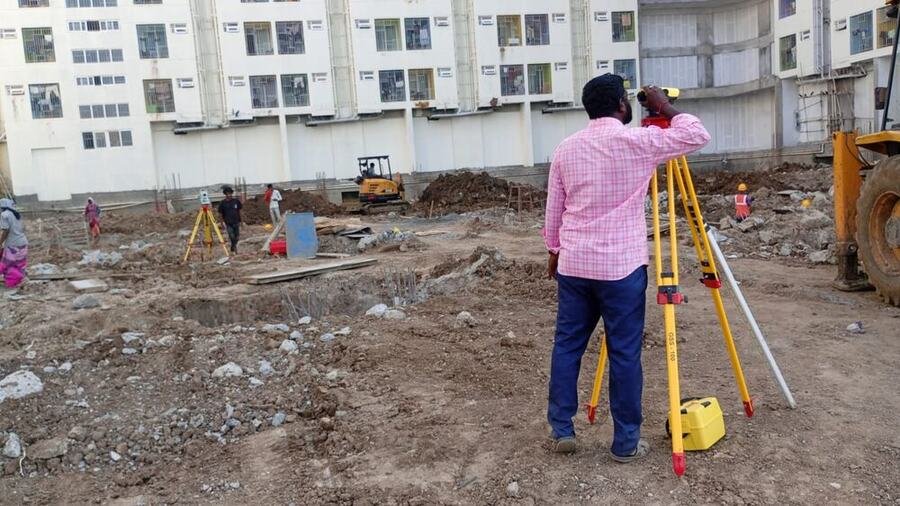
Share the location, plot size and what you’re planning. We’ll recommend the right survey and give you a clear price.