

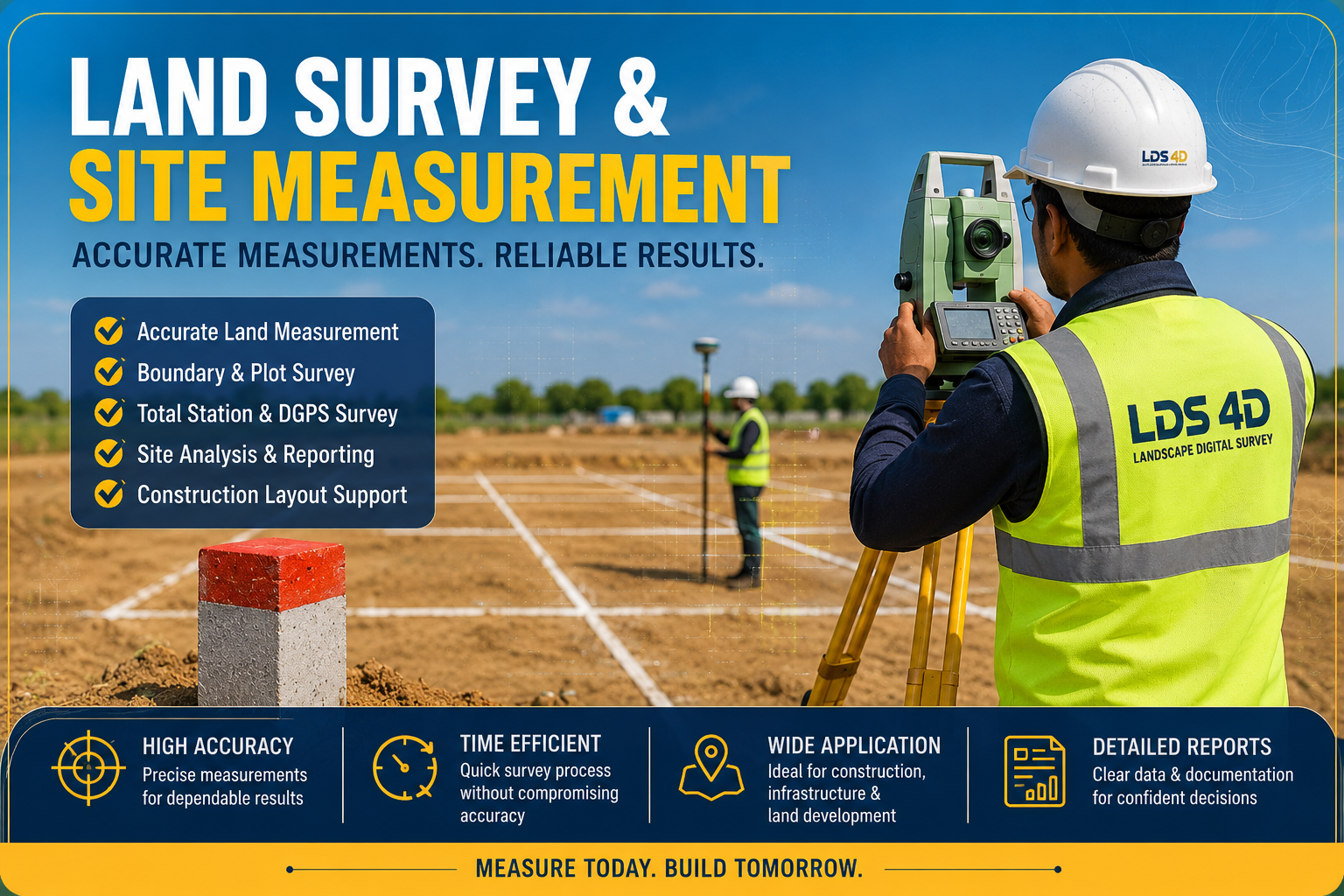
Land Survey & Site Measurement
Accurate land measurement, boundary verification and site layout services for land owners, builders, developers and industries.
நவீன தொழில்நுட்பத்துடன் துல்லியமான நில அளவை, மேப்பிங் மற்றும் பொறியியல் தீர்வுகள்
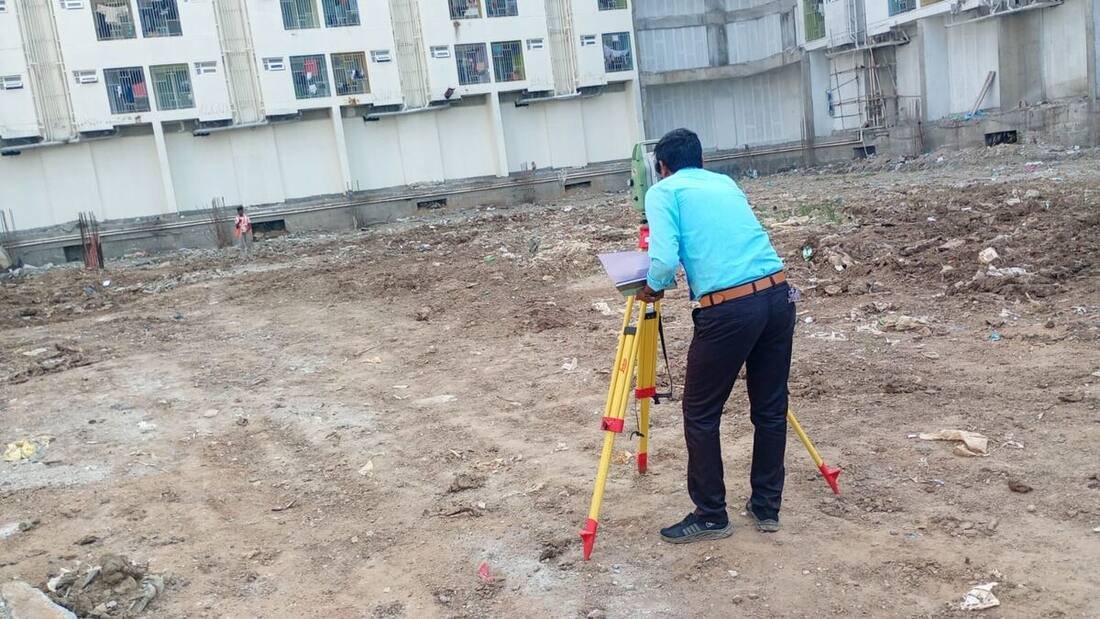
Precise field data, drawings and approval support for residential, commercial, industrial and infrastructure projects — delivered by registered engineers using DGPS, RTK, total station and 3D laser scanning.
DCE & BE Civil
Registered Engineer
DCE & DLSE Land Surveyor
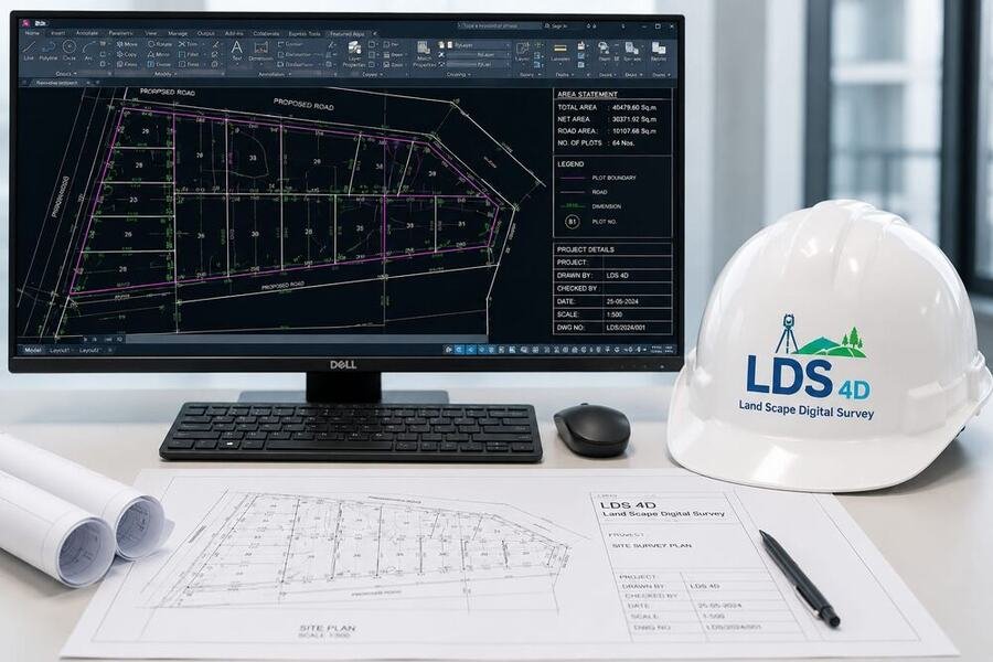
Registered EngineerLDS 4D Landscape Digital Survey is a professional surveying and engineering company delivering accurate land survey, mapping, scanning, and digital survey solutions. We combine field expertise with advanced technology to provide reliable results for infrastructure, construction, and land development projects.
Years Experience
Established
Accuracy Focused
Whether you're buying land, building a house, developing layouts, or seeking approvals, LDS 4D provides accurate surveying, mapping, design, and engineering support from start to finish.
Share your land location, plot size or project details. Our experts will recommend the right survey method and provide a clear quotation.
Accuracy is a property of the instrument, the control and the person holding the pole. We keep all three calibrated.

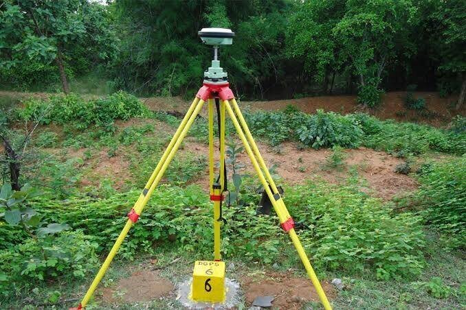
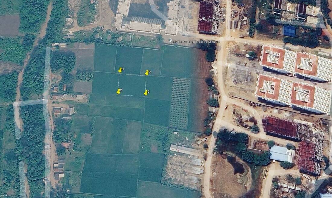
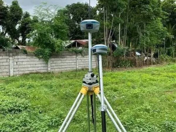
Satellite positioning with real-time corrections for coordinates, large plots and open land.

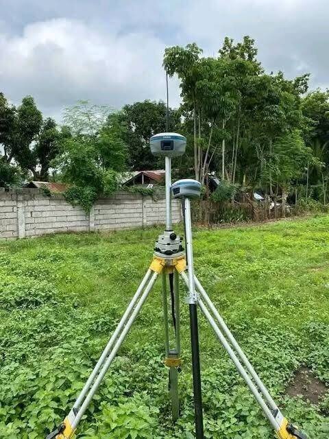
Base-and-rover working for fast centimetre-level pickup across layouts and infrastructure corridors.

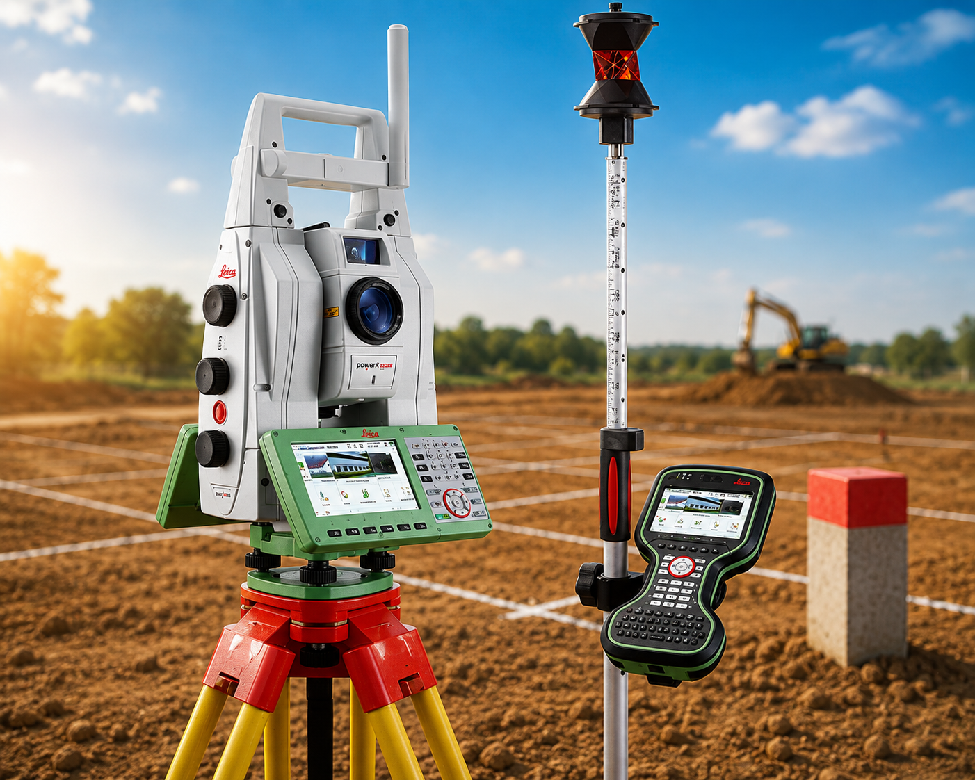
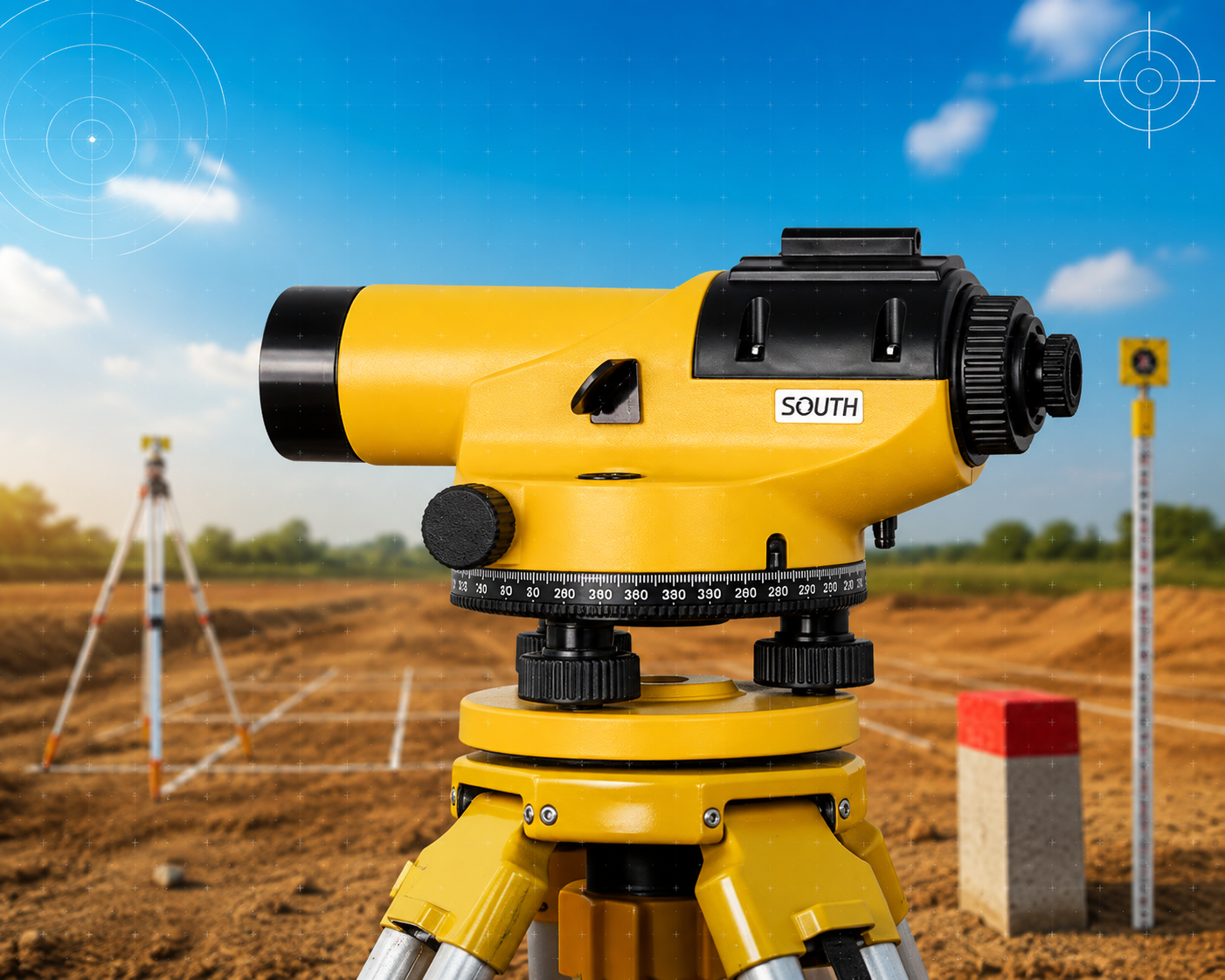
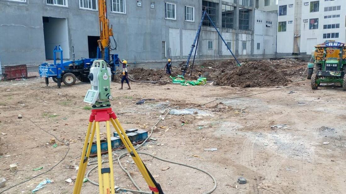
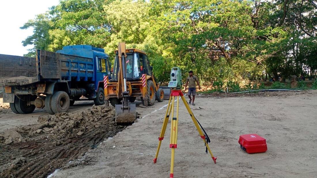
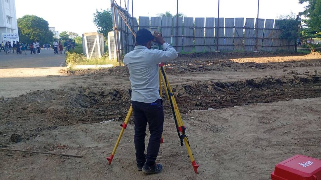
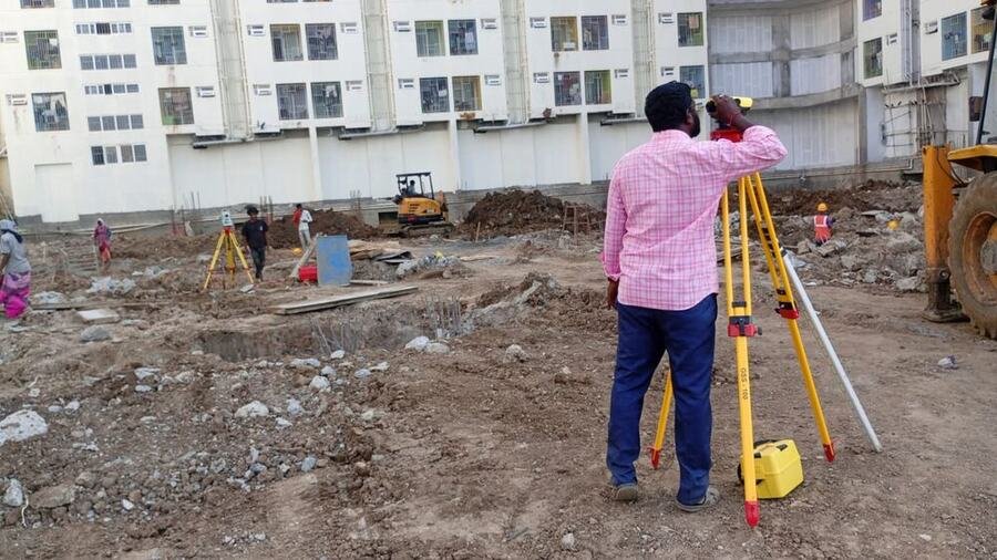
Angle and distance measurement for plot surveys, site levels, control networks and detail pickup.

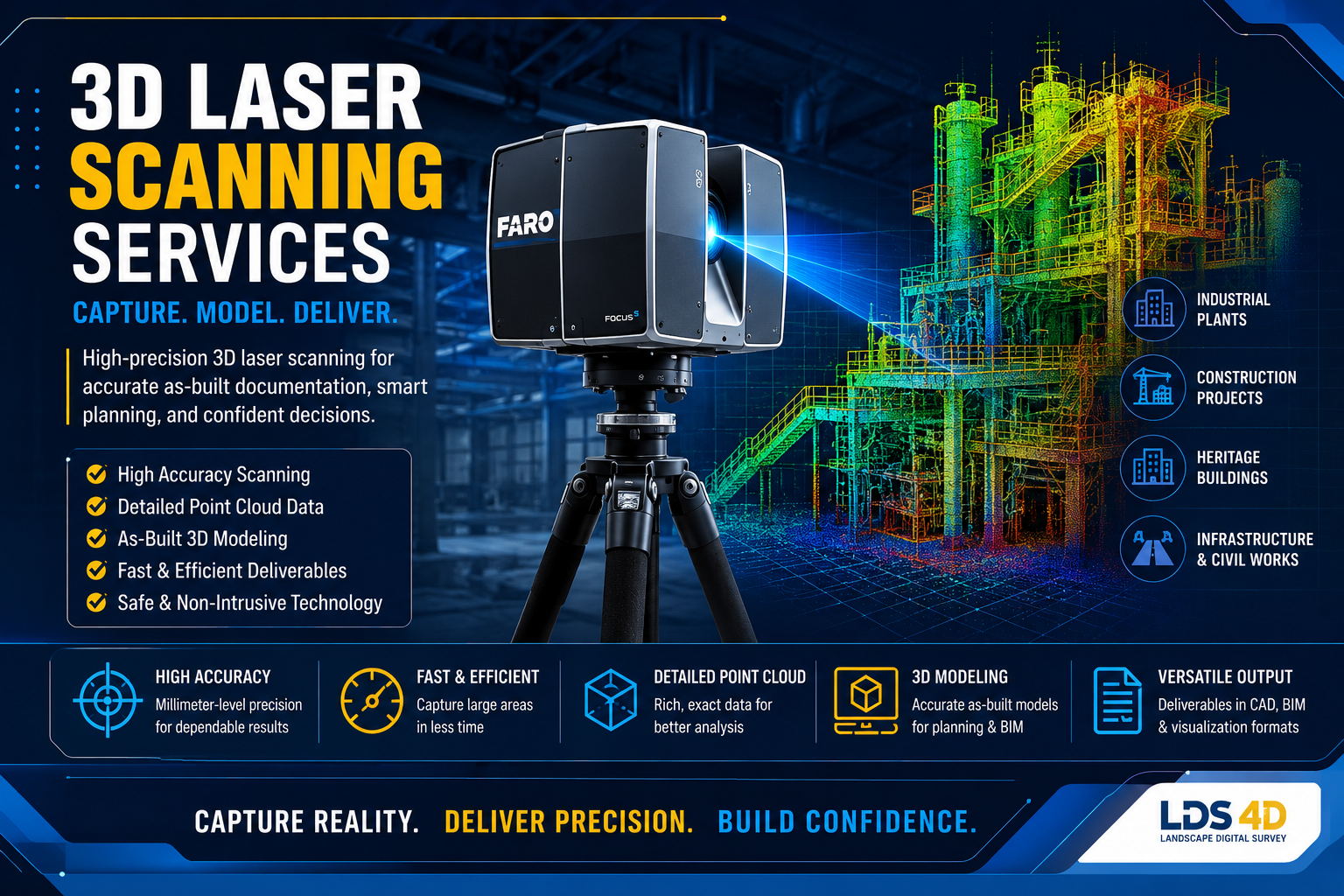
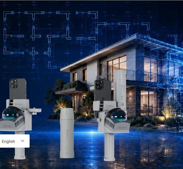
Millions of points in minutes — a full three-dimensional record of a structure or site.

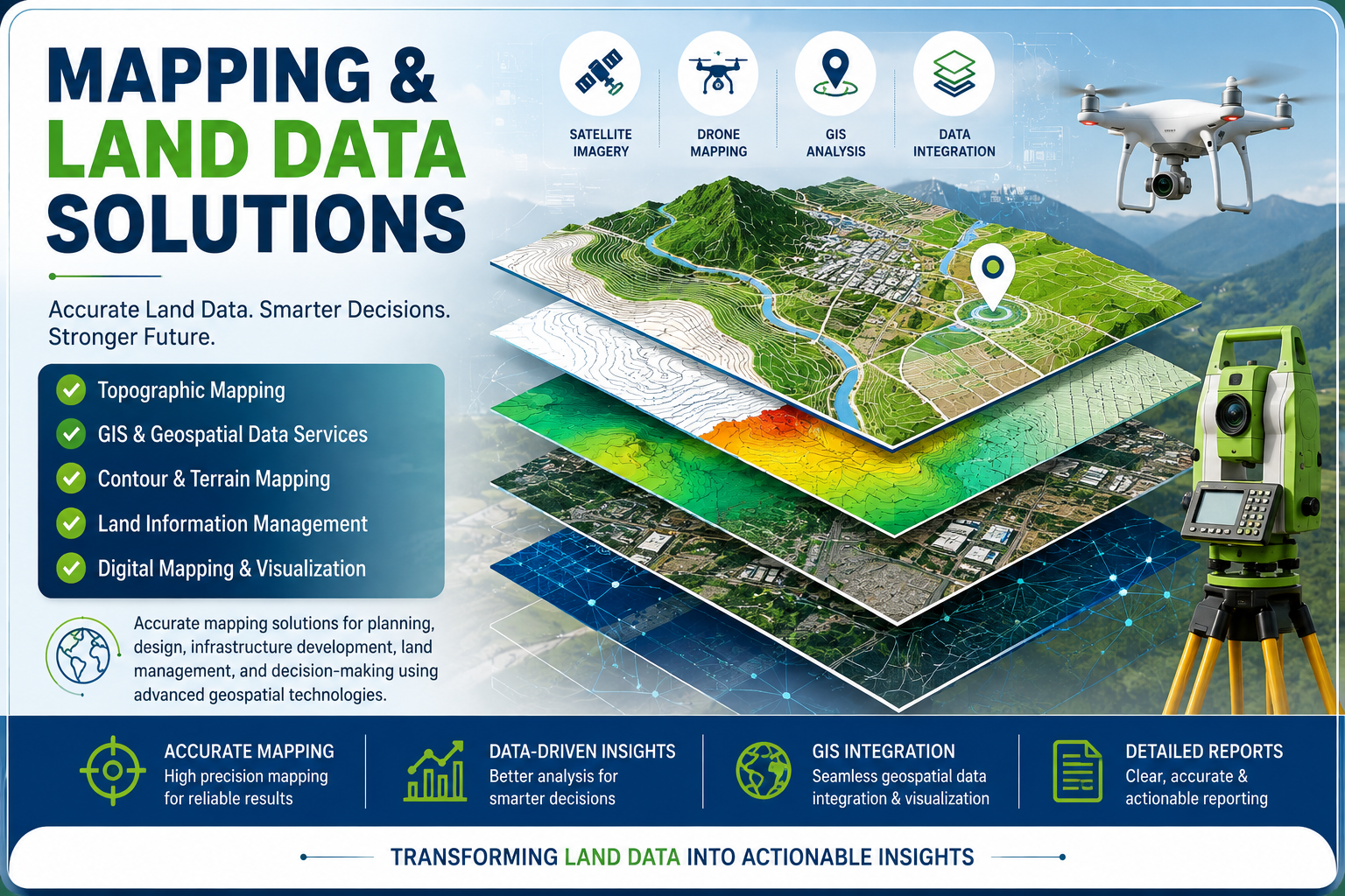
Field data reduced, checked and drafted into drawings, contour maps and spatial layers.

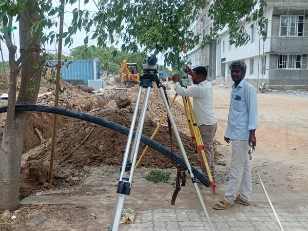
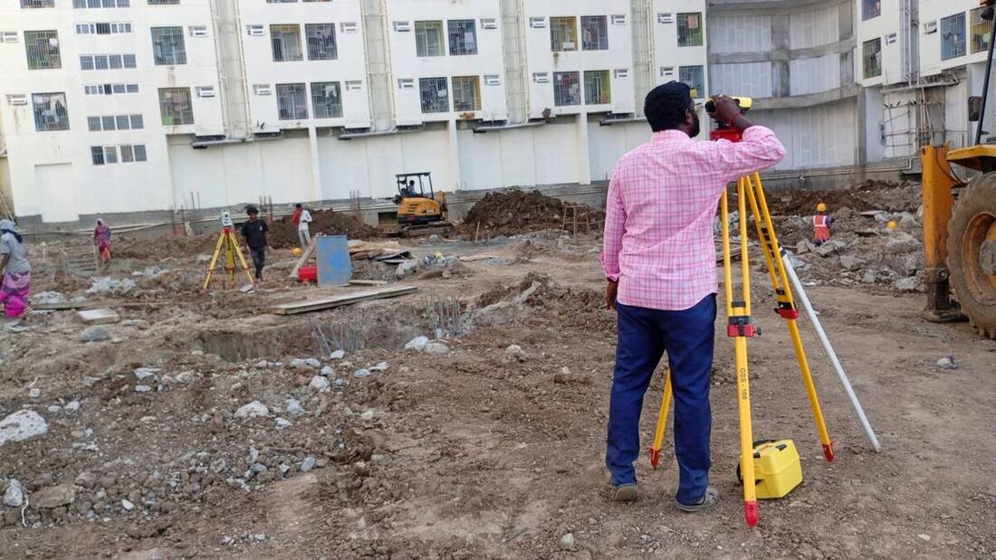
Levelling runs for foundations, formation levels, drainage falls and earthwork verification.
A wrong reading costs far more than a survey. Here’s how we make sure that never happens on your site.
Calibrated instruments, checked control points and repeated verification before any drawing leaves our office.
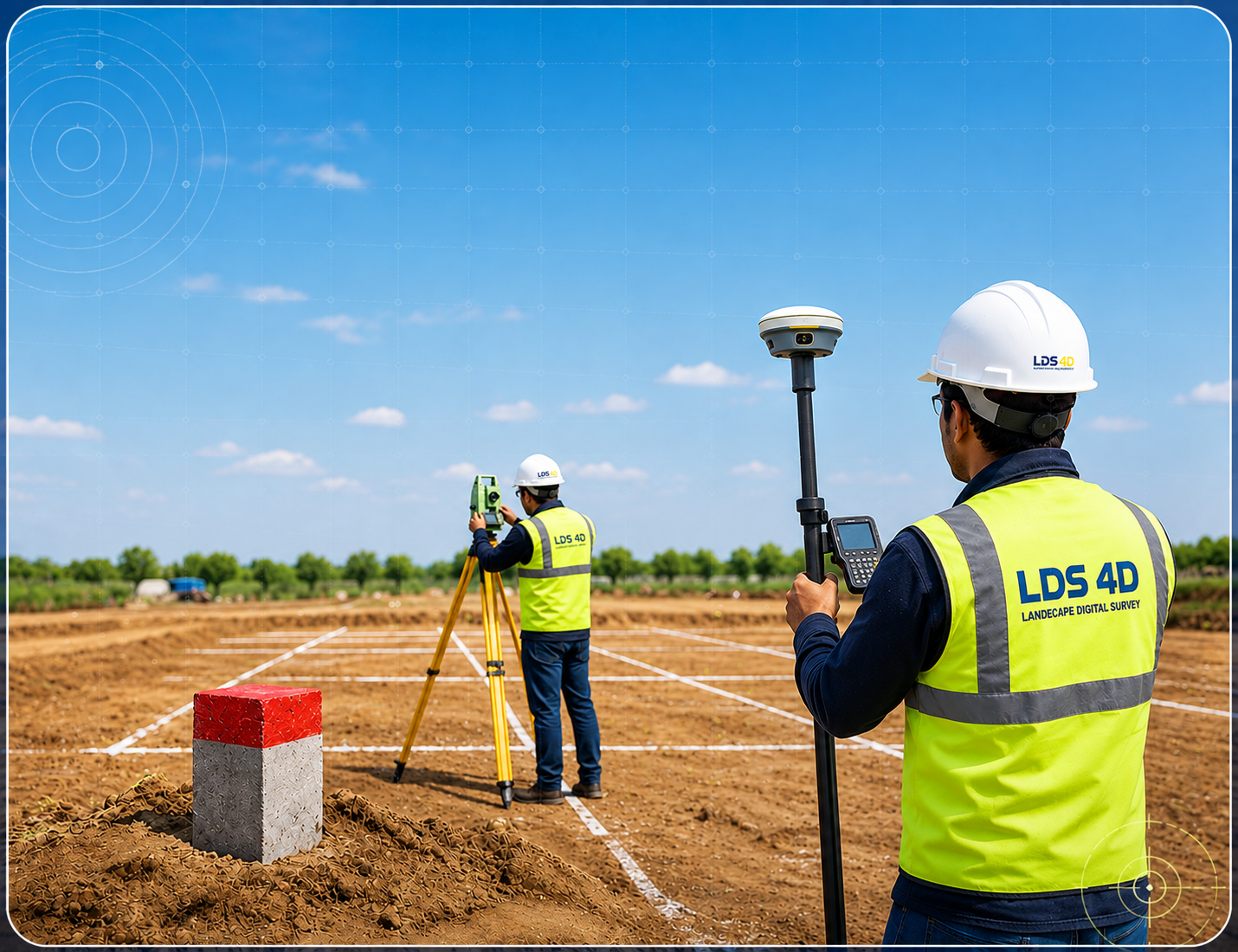
DGPS and RTK rovers, total stations, 3D laser scanners, GIS platforms and AutoCAD — the right tool for each job.
Registered civil and land survey engineers lead every project, backed by a trained field and drafting team.
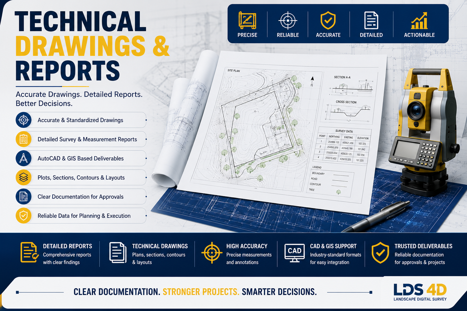
Clean AutoCAD outputs and detailed reports prepared to engineering standards — ready for submission.
Field work, processing and drafting run in parallel so you get results in days, not weeks.
You get a clear scope and a fixed quote before we mobilise. No surprises after the work starts.
Six steps, run in the same order on every job, so you always know where your project stands.
We understand the scope and check site conditions.
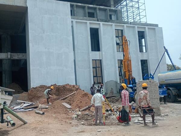
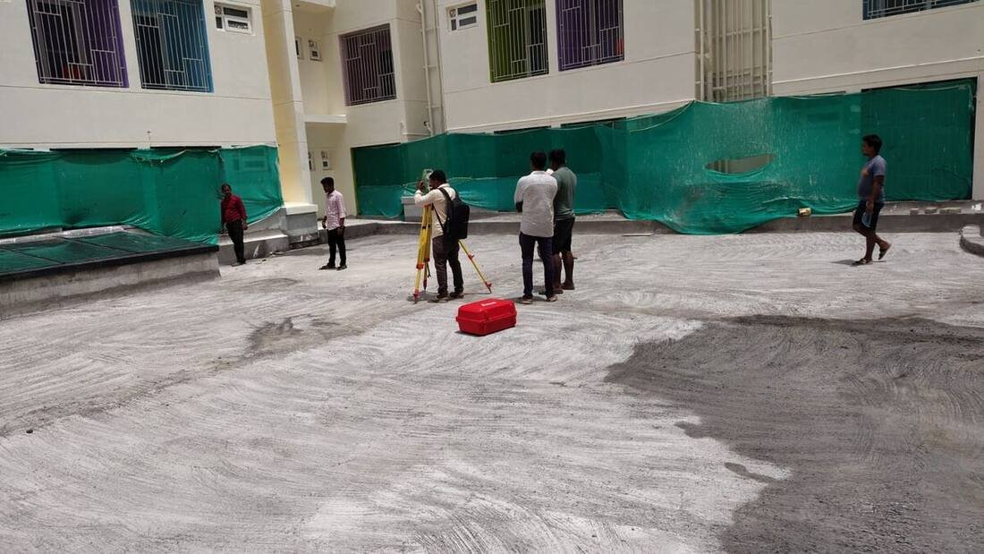
Instruments set up, control established, readings taken.
Raw observations reduced, checked and adjusted.
Drawings, maps and quantity reports prepared.
You check the output; we revise if anything’s off.
Final files handed over, approval paperwork assisted.
Trichy and its neighbouring districts are day-trip territory. Beyond that we mobilise across Tamil Nadu — send the site location and we’ll confirm timing for your area.
Hundreds of successful survey projects delivered across Tamil Nadu with accuracy, transparency and professional support.
LDS 4D completed our land boundary survey with exceptional accuracy. Their team clearly explained every measurement and delivered the final drawings on time. The entire process was smooth and professional.
We hired LDS 4D for layout marking and building column positioning. Their precision helped us avoid costly corrections during construction. Highly recommended for builders and developers.
The contour survey and topographic mapping were delivered faster than expected. The reports were detailed, accurate and extremely useful for our planning and earthwork estimation.
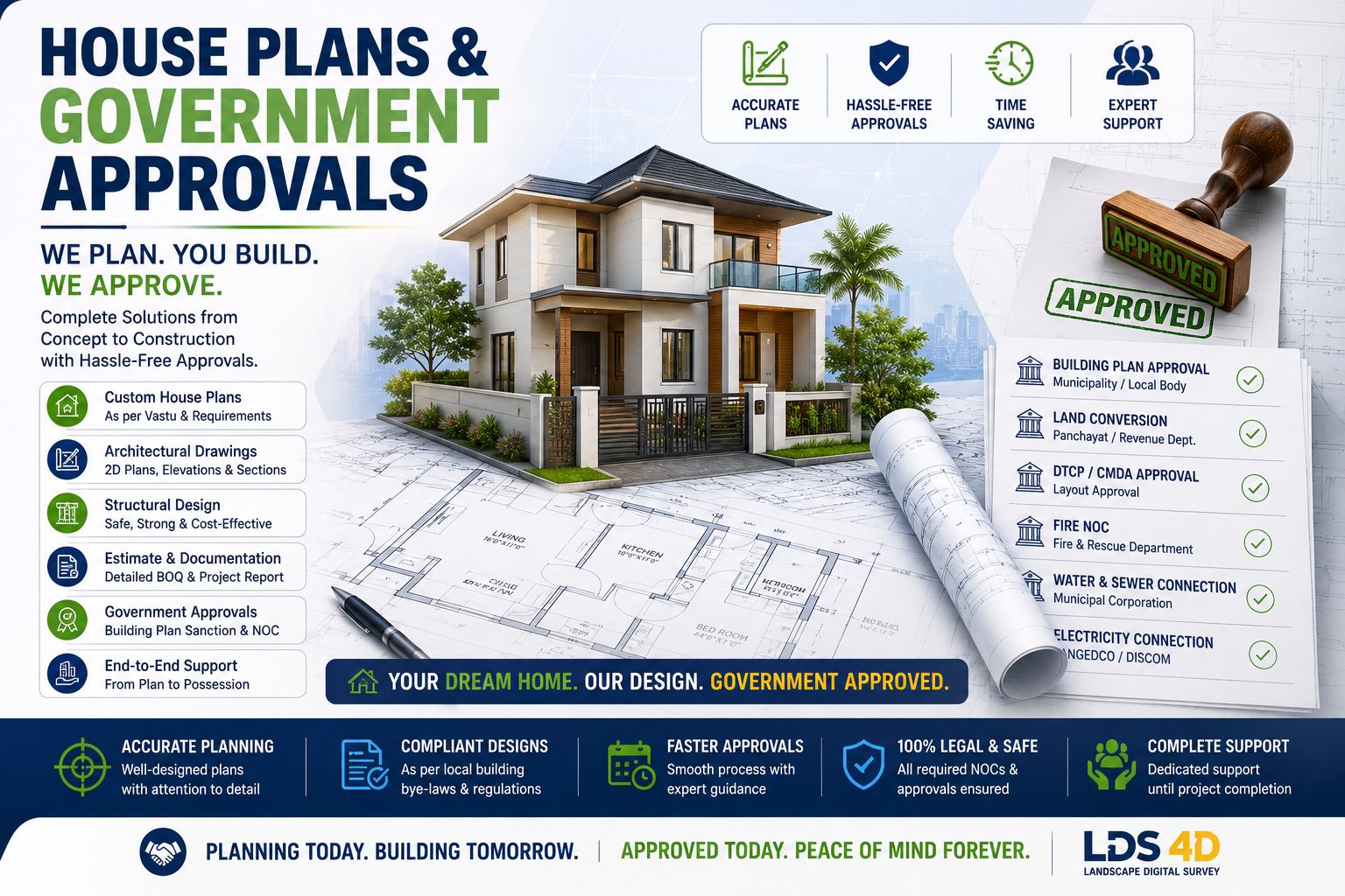
From document verification to survey completion, the team handled everything efficiently. Their guidance made the approval process simple and stress-free for our family.

DGPS surveys, boundary verification, topographic mapping, building layout, engineering documentation or approval assistance — send us the site details and we’ll take it from there.